Original site:www.cdc.gov/gisvaxview/interactive/index.html | RestoredCDC.org is an independent project, not affiliated with CDC or any federal entity. Visit CDC.gov for free official information. Due to archival on January 6, 2025, recent outbreak data is unavailable. Videos are not restored. Access data.restoredcdc.org for restored data. Use of this site implies acceptance of this disclaimer.
View available weekly COVID-19, flu, and RSV vaccine coverage data using interactive maps, trend lines, bar charts, and tables.
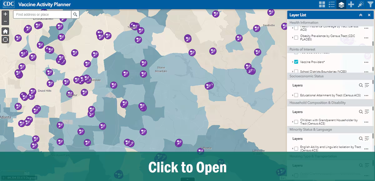
Vaccine Activity Planner
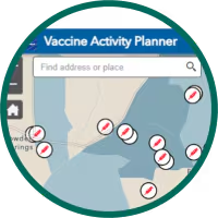
Step 1. Search your area.
Search for your area.
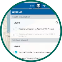
Step 2. Explore layer list.
Explore layer list.
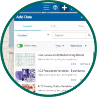
Step 3. Add data from ESRI Living Atlas.
Add data from ESRI Living Atlas.
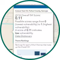
Step 4. Select, filter, and analyze.
Select, filter, and analyze.
This system provides jurisdictions and other partners geospatial data and tools to inform planning, implementation, and evaluation of vaccine activities and outcomes.